Land
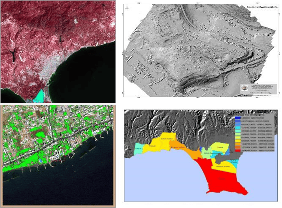
The combination of EO, remote sensing and GIS techniques has provided a useful and detailed way to improve the selection of areas designed for agricultural, urban and/or industrial exploitation in a region. Such techniques can be used for land-cover characterization, mapping and monitoring. In addition to facilitating sustainable management of the land, land cover and land use information can be used for planning, monitoring, and evaluating the development, industrial activity, or reclamation. In addition, remote sensing can be used to monitor forests, forest fires, forestry and environmental management. The assessment of forest information over time enables the comprehensive monitoring of forest resources. The use of remote sensing in forest resource assessment provides information regarding the spatial extent of forest cover, the forest type and the biophysical and biochemical properties of forests. In brief, the activities and research topics of the Land sector are the following:
- Land Cover/ Land Use changes
- Urban sprawl monitoring
- Real Estate
- Heat island
- Spatial planning
- Urban and regional planning
- Land Management Information systems
- DEM generation
- Photogrammetric applications
- Urban heat island effect
The Land sector is under the Department of Climate and Environment of ERATOSTHENES Centre of Excellence.
The Land sector currently collaborates closely with Water, Agriculture and Disaster Risk Reduction sectors.